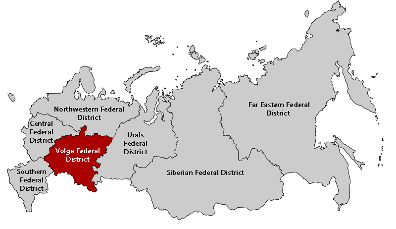
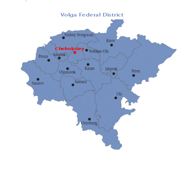
The Chuvash Republic is located in the central part of Russia on the right bank of the Volga river, between the tributaries of the Sura and the Sviyaga. The republic borders on Nizhnii Novgorod Region in the west, the Republic of Marii El in the north, the Republic of Tatarstan in the east, Ulyanovsk Region in the south and the Republic of Mordovia in the south-west.
The distance between Cheboksary and Moscow is 650 km.
Chuvashia belongs to the same time zone as Moscow.
The territory of the republic is 18,300 sq. km. The present-day landscapes were formed during the post-glacial period. The territory of Chuvashia is hilly and plain, indented with numerous small lakes and rivulets. The greatest part of the territory (54%) is covered by agricultural land, out of which 80% is arable land, the rest being used as pasture. The remaining 33% of the land is occupied by forests. The total area of the forest fund in the republic comes up to 633,000 hectares (mostly in the vicinity of the Sura and on the left bank of the Volga), including 35,700 hectares of rural forests which are located mostly along the ravine slopes and river banks. The forests fulfill mainly water-conservation, sanitary, and protective functions. Such kinds of trees as pines, birch-trees, oaks and lime-trees prevail. The majority of this land is covered by oak forests (105,600 hectares). Oak is considered to be the symbol of courage and endurance in the Chuvash culture. The names of many Chuvash settlements are derived from it. Even the outline of Chuvashia on the map resembles the shape of an oak tree leaf.
The timber resources of the Chuvash Republic make up more than 75 mln. m3, including 13.4 mln. m3 of mature plantations.
The Volga with many large and small rivers (2,356) is the main river flowing through Chuvashia (for a length of 127 km). There are also more than 750 lakes in Chuvashia, of which 600 are floodplain lakes and the rest are sink lakes (in Zavolzhye, the left bank of the Volga river).
Chuvashia's main natural resources include mortar and glass-making sands, tripoli, gypsums, clays (used for the production of brickware and haydite), carbonate strata (used to lime soils) and peat. Sapropel deposits have been located in the lakes of Zavolzhye and the Sura river valley. The total amount of proven mineral resource deposits in the Chuvash Republic includes 158 fields.
The largest gypsum (120 mln. tons), anhydrite (50.9 mln. tons) and dolomite (12.2 mln. tons) deposit in Europe is located on the territory of the Republic.
There are also 12 proven freshwater deposits in Chuvashia. The total volume of underground water reservoirs which have been found to meet all the necessary requirements, amounts to 416,600 m3 per day, including 203,600 m3 per day for industrial use. Besides, there are also medicinal and table water deposits, including sulfur water, on the territory of Chuvashia.
For futher information, please, link to CHUVASH REPUBLIC: INVITATION TO COOPERATE
Passport (engl) Chuvashia
Video (engl) Chuvashia